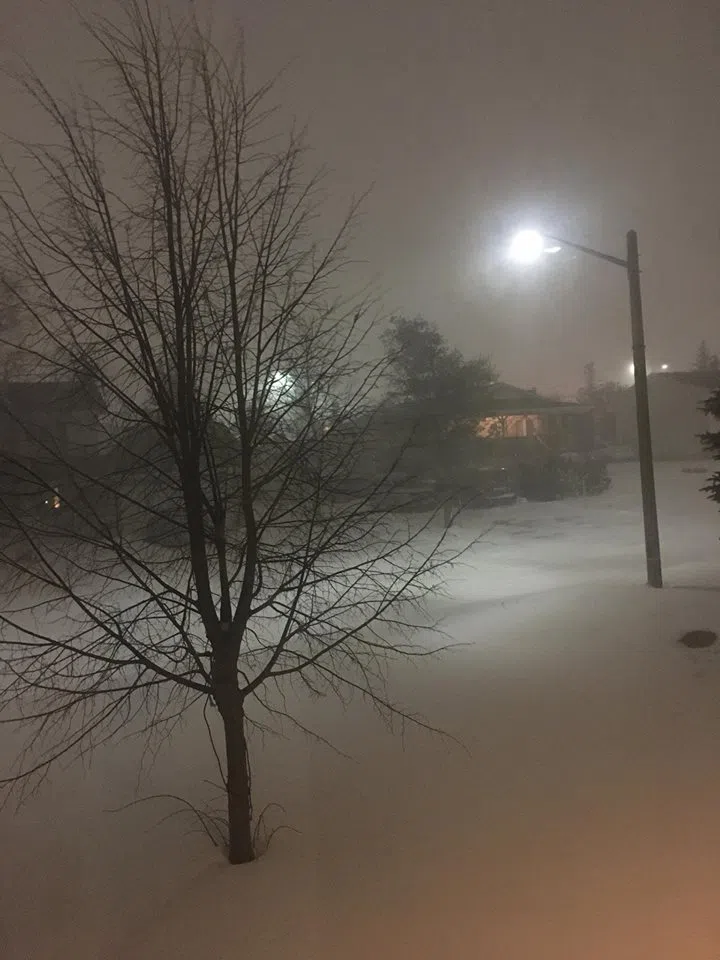
The snowfall and blowing snow warnings didn’t come until mid afternoon, but they were right in time, for a blast of winter that slowed motorists on roads, and kept many people indoors last night.
This system brought with it over 22 centimetres of snow to the region. Moncton was the hardest hit in the province.
Environment Canada Meteorologist Jean-Marc Couturier says they were closely monitoring the system yesterday, when there was a shift.
“The guidance was suggesting earlier that is would pass east of Sable Island. As it curved, it turned to the West and passed over Cape Breton, so all of the significant weather that was expected over Nova Scotia all of a sudden was spread much further West,” Couturier says.
Nasty Weather conditions last night close school today. pic.twitter.com/Q5Mjcz7h1B
— 91.9The Bend News (@919TheBendNews) January 31, 2018
In Saint John, they received 11 centimetres of snoiw. In Bathurst around 15 centimetres was reported. To the West, towards Fredericton, they received around 15 centimetres as well
The snowfall warning and blowing snow advisories have now ended.
The weather conditions have forced the closure of schools in Anglophone East, and Anglophone North, with the exception of the Campbellton area. Schools in Francophone South in the Bouctouche, Shédiac, Saint-Louis, Rogersville, Baie-Ste-Anne, Miramichi, Dieppe-Memramcook et Moncton are also closed.
There are other delays as well. A full list can be found on our Trinity Collision Centre Storm Watch page.
Couturier says conditions are going to get messy again towards the end of the week, as temperatures rise slightly, but then dip back down. Environment Canada is also monitoring a bigger weather system to start next week.
(photo of Bella the dog, courtesy of Wade Perry)


